







Google Earth 5.2 Turns Satellite Eye on Hiking, Biking Trails
by Clint Boulton
Google Earth Browser
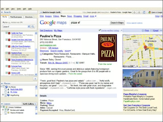
One of the key new features of Google Earth 5.2 is the integrated Web browser. No longer must users launch a new browser window when they click a link within the Google Earth geo-browser. The browser pane slides right over the content for easy viewing. Click the back button to go back to Earth.
New Data Layers
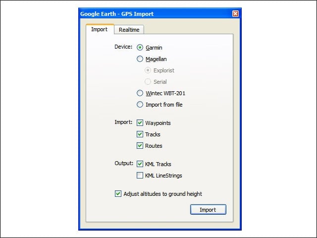
Earth 5.2 extends the GPS track and import feature to let users see elevation, speed and other data as a graph in Google Earth. Connect a GPS device to upload the track. This will bring up elevation and speed graphs.
Elevation Profile
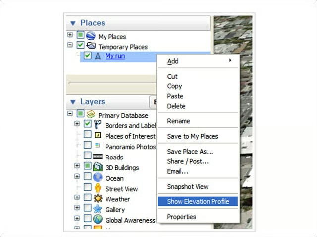
Use the elevation profile to graph speed or any other data that your GPS device records, such as heart rate, cadence, temperature, etc.
Check Out Your Stats
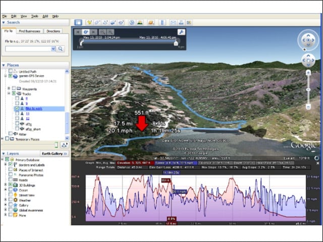
This is what your track stats might look like rendered in Google Earth.
Bike Ride Route
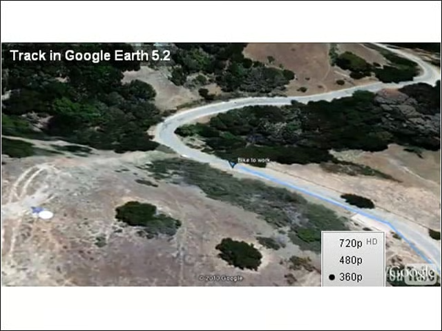
This video shows a Google software engineer’s bike trail to work in Google Earth.
Google Earth on Apple iPad
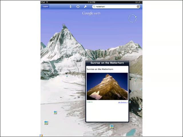
Google Earth 5.2 features native support for the iPad, including a custom tool bar. Users can click on individual icons to open “balloons” without exiting 3D view. Bloggers are raving about this functionality.
Tools for the Pros
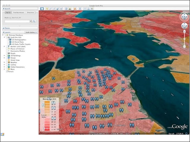
Google Earth Pro 5.2 features several new data layers, include U.S. demographic data on 2010 and projected 2015 income, age, education, etc., at the state, county, tract and block group level. See color-coded layers for income and age. The data is licensed from Claritas.
Land Parcel Data
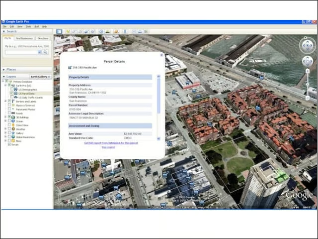
The U.S. Parcel data layer offers researchers parcel and building information such as Assessor’s Parcel Number (APN), use codes and zoning data.
Road Traffic Counts
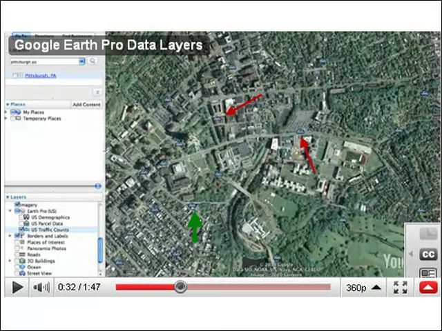
Another layer in Earth Pro includes traffic counts to tally the average number of cars that have passed through an intersection in the United States. Blue icons highlight traffic data, which eWEEK highlighted with red arrows in the slide.
Inauguration Day in Google Earth
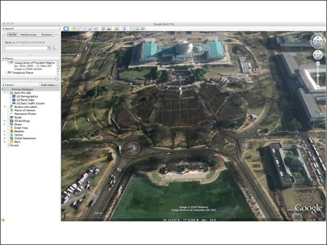
Google said this image of the National Mall on Inauguration day would have been too large to download and view as a single file. Check it out as a KML file.