


A team of MIT researchers has developed a new tool for predicting potential flooding in an area through satellite images in the event of a coming storm. Called the Earth Intelligence Engine (EIE), it combines generative artificial intelligence, physics, and climate science to create a realistic visualization of a specified topography to help communities prepare for hurricanes.
Making GenAI Flood Images More Accurate
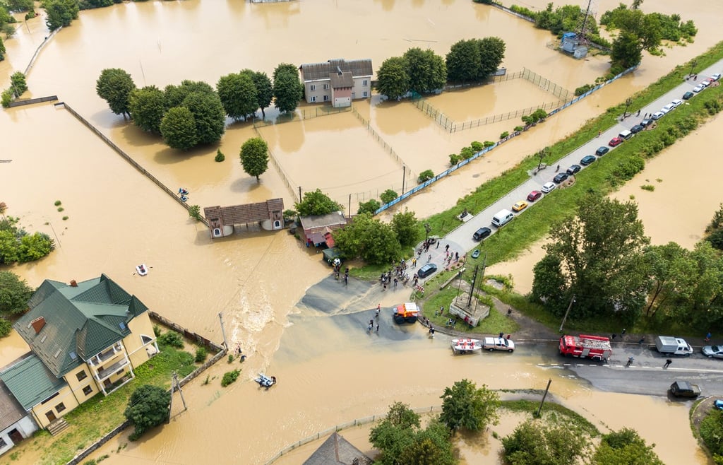
Giving people visuals about the likelihood of flooding in their neighborhood when a storm hits could help them plan their evacuation. MIT scientists took on a similar project in Houston, Texas, to test whether the AI-generated images depict a realistic picture of the region when flooded. In 2017, Hurricane Harvey hit the city, and several places were heavily flooded.
The purely AI-generated images that were supposed to depict the flooded areas of Houston after the storm hit were not accurate and showed flooding in places that are impossible to flood. However, when the team combined AI with a physics-based climate science model, the generated images were more realistic—more comparable to the satellite images of the flooded places when the hurricane hit.
EIE generated a “photorealistic visualization” of its flood prediction that matched the topographic map. The test case demonstrated that, when reinforced by physics, generative AI can create realistic and accurate images of future flooding. If the AI model was trained with more satellite images of different regions, it would produce images that depict future flooding with increased accuracy.
“The idea is: One day, we could use this before a hurricane, where it provides an additional visualization layer for the public,” said Björn Lütjens, who led the research. “One of the biggest challenges is encouraging people to evacuate when they are at risk. Maybe this could be another visualization to help increase that readiness.”
The Future of Flood Imaging
EIE is a Frontier Development Lab (FDL) project and would be an effective tool for disaster risk management and coordination with local governments and communities to evaluate the situation, plan, and decide on an evacuation. A photorealistic visualization of the future flooded places before a storm hit could save thousands of lives, especially in storm-frequented regions.
The team made EIE available online so that others could also try it. The project aims to “help city planners communicate more effectively, more visually, and more intuitively about flood risks to support climate resilient infrastructure development.”