


- Google Earth: Images of North Koreas Testing Site
- Google Earth: Images of North Koreas Testing Site – Kilchu
- Google Earth: Images of North Koreas Testing Site – Kilchu
- Google Earth: Images of North Koreas Testing Site – Nuclear Processing
- Google Earth: Images of North Koreas Testing Site – Yongbyon
- Google Earth: Images of North Koreas Testing Site – Airport
Google Earth: Images of North Koreas Testing Site
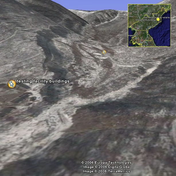
An image of the nuclear test site buildings and mine entrance where North Korea allegedly conducted a nuclear test on Sunday, October 8. The placemark in the background is the entrance to the mine shaft. Coordinates: 41 degrees 1640.69 N, 129 degrees 05
Google Earth: Images of North Koreas Testing Site – Kilchu
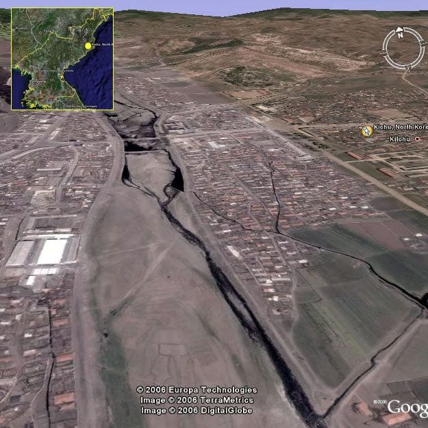
Another view of Kilchu, the largest city near North Koreas nuclear testing site
Google Earth: Images of North Koreas Testing Site – Kilchu
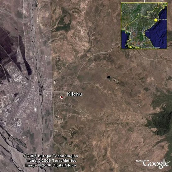
Kilchu, in the northern provinces of North Korea, is the closest large city to the nuclear test site.
Google Earth: Images of North Koreas Testing Site – Nuclear Processing
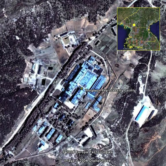
The Yongbyon nuclear processing facility in Yongbyon, North Korea. 39 46N 125 45E
Google Earth: Images of North Koreas Testing Site – Yongbyon
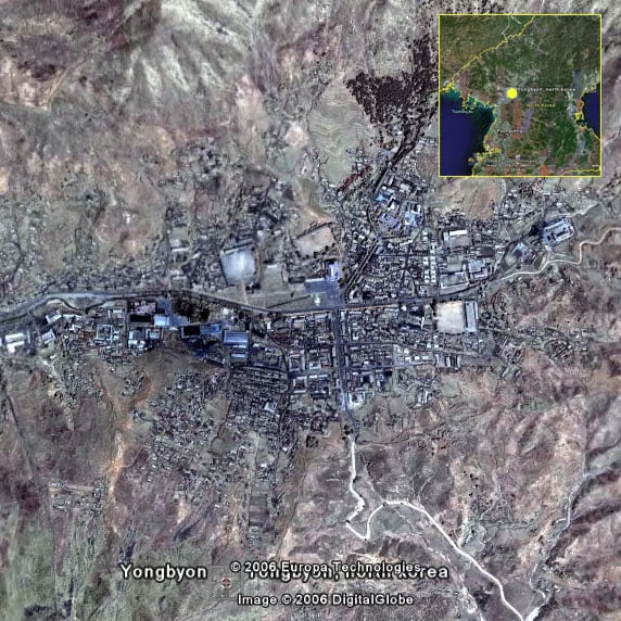
Yongbyon, North Koreak, location of a nuclear processing plant first discovered by US satellite pictures. 39 48N 125 46E
Google Earth: Images of North Koreas Testing Site – Airport
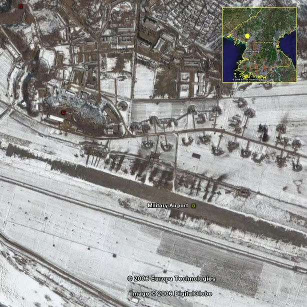
A military airport in North Korea 37 05N 127 02E