


Google Maps (Free)
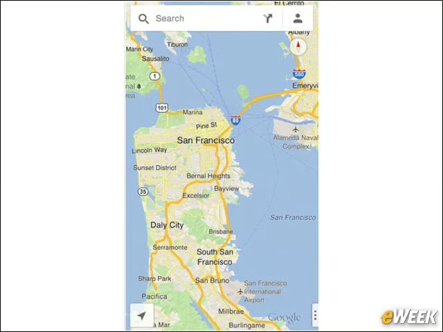
Google Maps offers local search, voice-guided turn-by-turn navigation, public transit information, Street View and live traffic information. The app also features a sign-in option that allows users to call up previous searches and directions made from the user’s computer.
Here Maps (Free)
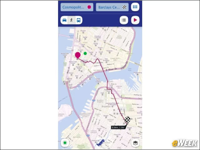
Using information from in-car navigation specialist Navteq, Nokia’s navi app also helps you out when you’re on foot, allowing users to negotiate pedestrian byways and parks.
MapMyHike + GPS Tracking (Free)
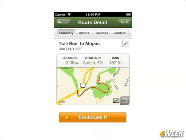
Using built-in GPS technology, this app lets you track and log your hikes, view elevation info, build an online hike journal and track fellow hikers on the trail.
The Transit App (99 cents)
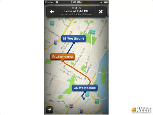
Track public transit in 28 cities, including New York City, Chicago, Boston and San Francisco, with schedules, trip planning and real-time data on some routes.
AutoPark ($2.99)
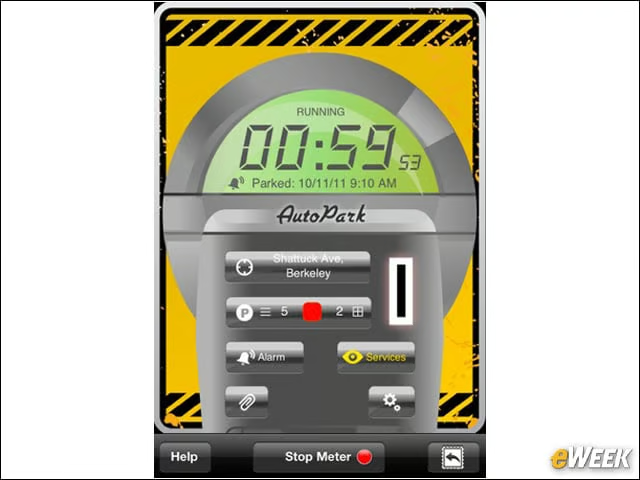
There’s nothing worse than losing your car in a massive parking lot or coming back to a ticket from an expired meter. This app solves these problems and more, as well as allowing you to search nearby services and offers built-in customer support.
Bike Maps (99 cents)
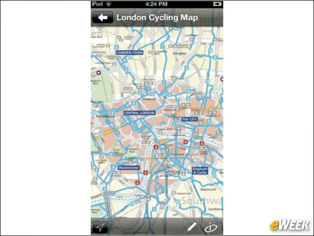
This app gives you offline access to high-resolution bike lanes for urban and rural areas, rail trails or even mountain bike trails across the United States and the U.K.
Commander Compass ($3.99)
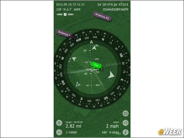
This powerful toolkit for the outdoors features a mil-spec compass, gyrocompass, maps, GPS tracker, speedometer and inclinometer.
Beat the Traffic (Free)
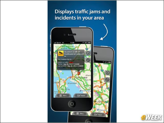
Congested commute got you down? Quickly check local traffic conditions and discover the best route to take to avoid traffic jams.
MotionX GPS (99 cents)
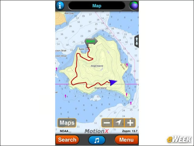
This highly regarded app is the ultimate navigation tool for outdoor enthusiasts, be it snowboarding, sailing, rowing, flying or geo-caching, whatever that is.
GoSkyWatch Planetarium ($3.99)

Locate and identify stars, planets, constellations, galaxies and more, simply by pointing to the sky; plus, the app boasts a red-light mode for night vision and a 180-degree display.